Today, Premier American Uranium released results from the Kaycee Project—results I’ve been professionally sitting on since late 2025.
The announcement details outcomes from a 100,000-foot drilling campaign at the Kaycee ISR Uranium Project in Wyoming’s Powder River Basin. On the surface, it does exactly what a well-constructed press release should do: it reports expanded mineralization, highlights multiple target areas, and reinforces Kaycee’s position within one of the most productive sandstone-hosted uranium districts in the United States.
But press releases are, by design, distilled narratives.
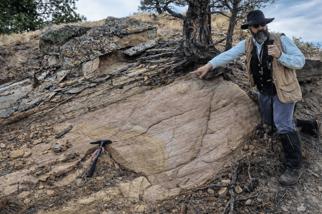
They don’t fully capture the geological work behind the results—the iterative interpretations, the subsurface pattern recognition, and the decisions made hole-by-hole that ultimately shaped where the drill went and why. Having led the geological interpretation and field integration for the Kaycee program through the 2024–2025 field season, I want to add context around how these results were generated, what they reveal about the system, and why they matter going forward.
The Program: Footage with Intent
The Kaycee campaign consisted of 132 drill holes totaling just over 100,000 feet, targeting multiple mineralized trends hosted primarily within Fort Union–Wasatch fluvial sandstones. From the outset, this was not a program built around headline intercepts alone.
The objectives were deliberate and ISR-driven:
- Delineate sand continuity and channel architecture
- Resolve redox geometry across stacked sand packages
- Test step-out targets guided by stratigraphy and inferred groundwater flow
- Evaluate lateral predictability at a scale meaningful for ISR development
In ISR uranium systems, geometry, continuity, and hydrogeologic coherence matter at least as much as grade. The Kaycee drill program was designed accordingly.
Outpost: Discovery by Discipline
The Outpost area represents more than a successful step-out—it reflects the emergence of a newly defined roll-front system once the subsurface framework came into focus.
Drilling intersected uranium mineralization in 11 of 23 holes, with eight meeting or exceeding 0.02% eU₃O₈ over two feet, including several higher-grade intervals. Mineralization is concentrated near sand–organic interfaces, where permeability contrasts and localized reductants play a controlling role.
These results did not come from random targeting. They followed from integrating:
- Channel-scale sand geometry
- Stratigraphic stacking relationships
- Organic distribution within otherwise clean fluvial sands
Once these elements were reconciled, mineralization at Outpost behaved as a coherent roll-front system, not a collection of isolated anomalies. That distinction is critical for ISR evaluation.
Rustler and Stampede: Continuity Is the Point
At Rustler, drilling confirmed a north–south-trending redox corridor extending for several miles, with 22 of 81 holes intersecting mineralization and 15 meeting ISR-relevant grade-thickness thresholds.
Mineralization occurs within laterally continuous sands, with thickness and grade modulated by subtle changes in permeability, organic content, and redox position rather than abrupt lithologic breaks.
Stampede further demonstrated continuity between adjacent trends, reinforcing the interpretation that these targets are expressions of a larger, connected redox system operating across multiple sand packages.
From an ISR standpoint, this is exactly the behavior you want to see:
not just mineralization, but systematic, predictable architecture across space.
A Subtle Geological Signal Worth Noting
One detail embedded within the results—likely to stand out to experienced Powder River Basin practitioners—is that several mineralized intervals do not exhibit the classic orange to brick-red oxidation typically associated with textbook roll-front models.
Instead, uranium locally occurs within pale, carbonate-cemented sands adjacent to thin organic horizons, where elevated background gamma persists despite muted visual alteration. Feldspathic sands commonly show bleaching and subtle diagenetic effects rather than strong iron-oxide staining.
This observation does not contradict roll-front uranium models. Rather, it highlights the influence of carbonate buffering, limited reactive iron, and organic-controlled reduction in shaping how redox fronts express themselves in certain Powder River Basin settings.
I’ll leave that observation right there, for now.
What This Means for Kaycee
Taken together, the Kaycee results demonstrate:
- A large, laterally continuous uranium system
- Multiple mineralized trends with geometry appropriate for ISR development
- New discovery potential beyond historically drilled ground
- A geological framework that rewards disciplined subsurface interpretation over surface-level assumptions
These outcomes did not emerge from a single dataset or a single idea. They are the result of iterative geological work—building sections, reconciling logs, testing competing interpretations, and letting the system resolve itself through careful drilling.
That process is the difference between drilling footage and building confidence.
Looking Ahead
In just over a month, I’ll be presenting a technical talk at SME, where I’ll explore these results in greater depth—particularly what subtle redox expression and carbonate-buffered systems mean for ISR exploration strategy and model selection.
For now, the public data speaks clearly enough:
Kaycee works.
The system is coherent.
And 100,000 feet of drilling has sharpened—not simplified—the questions worth asking next.
